Babad Do’ag Hike
At 60F and clear skies, it was the perfect day for an afternoon hike. Leaving a buffer to ensure it didn’t get dark, I had about 3 hours of hiking time once I finished getting ready and driving across town. I wanted to actually finish something (it’s no fun to hike out to an arbitrary location on a trail and just turn around), so I needed a pretty short hike.
Fortunately I found exactly what I was looking for in the Babad Do’ag (wtf is that?) trail off the Mount Lemmon Highway. At 4 miles of length and 1100ft of elevation gain, it would be short enough but still provide some challenge for my heavy ass!
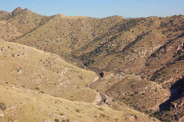
The trail continued alongside the highway for a little before breaking away and climbing up a ridge.
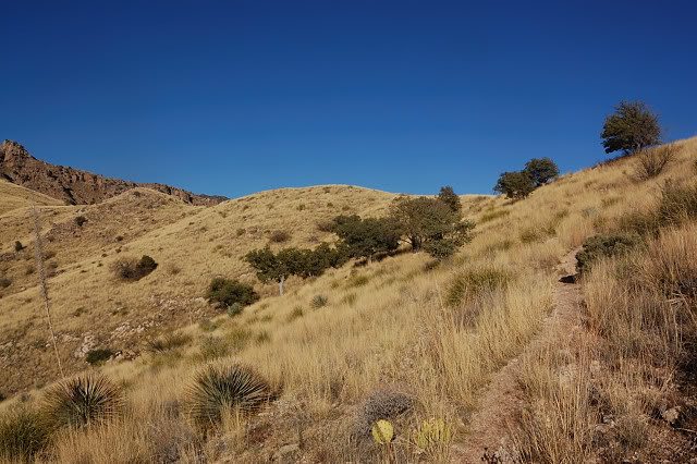
After an initial rocky section, the trail leveled out a bit and wound its way through knee-length grass…
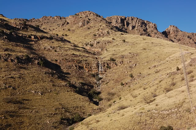
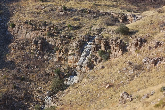
Once atop the ridge, the trail turns and follows the top edge or a canyon… across from which is a crazy waterfall!
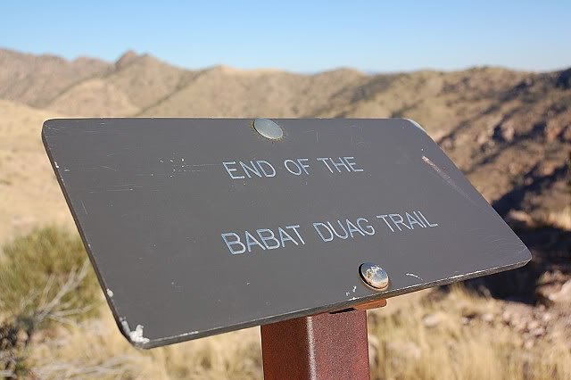
Near the waterfall is the end of the trail, marked by a cool little sign… horrendously misspelled sign, but cool nonetheless.
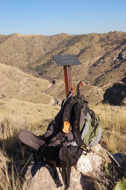
A pic of my stuff by the sign to prove I was there! Well, I guess I could have hired someone to carry my stuff and take a pic… but hopefully that’s a a bit outlandish. To get a feel for my bag, I filled it up with a bunch of random and unnecessary crap – a couple books, my entire camera bag, excessive clothing, etc. After some strap adjustment it was surprisingly comfortable!
View of the falls from the end…
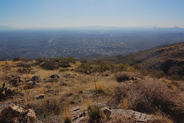
Another cool feature of the end is that you can see over the other side of the ridge you’ve been climbing the whole time. Incidentally, the parking area visible down there has a very brief (i.e. a few minutes) trail near it. That hike was the first I ever did in Tucson while visiting way back when…